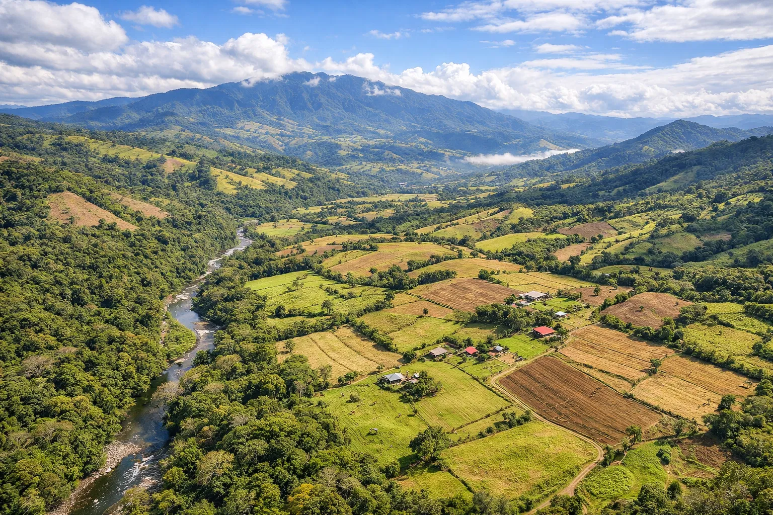
Buying land in Costa Rica is an exciting investment opportunity, but it comes with unique challenges. The country's diverse terrain—from lush rainforests to mountainous regions—requires specialized surveying techniques to ensure your investment is protected. Traditional surveying methods often fall short in Costa Rica's complex landscape, making digital surveys essential for any serious property investment.
The Costa Rica Land Buying Challenge
Costa Rica's property market is growing rapidly, with foreign investors and local buyers alike seeking parcels for development, agriculture, or residential use. However, many properties have unclear boundaries, hidden terrain issues, or undocumented easements that can lead to costly legal disputes and construction delays.
Key Fact: Over 30% of property disputes in Costa Rica involve boundary disagreements that could have been prevented with proper digital surveying.
Why Digital Surveys Are Essential
1. Accurate Boundary Definition
Digital surveys using GPS RTK technology provide centimeter-level accuracy for property boundaries. Unlike traditional methods that rely on physical markers (which can be moved or destroyed), digital surveys create permanent electronic records tied to global positioning systems.
2. Terrain Analysis
Costa Rica's terrain includes slopes, drainage patterns, and soil stability issues that affect construction feasibility. LiDAR drone surveys penetrate forest canopy to map the true ground surface, revealing:
- Hidden drainage channels and water flow patterns
- Slope stability and erosion risks
- Optimal building locations
- Access road feasibility
3. Legal Protection
Digital survey data is admissible in Costa Rican courts and provides strong evidence in property disputes. The detailed documentation includes:
- Georeferenced boundary coordinates
- 3D terrain models
- High-resolution aerial imagery
- Professional survey reports
Digital Surveying Technologies for Costa Rica
LiDAR Drone Surveying
LiDAR (Light Detection and Ranging) uses laser pulses to create precise 3D models of the terrain. In Costa Rica's forested areas, LiDAR penetrates vegetation to map the actual ground surface—something traditional aerial photography cannot achieve.
Point Clouds & Gaussian Splats
These advanced visualization technologies convert survey data into interactive 3D models that can be explored from any angle. They're perfect for:
- Virtual property tours for remote buyers
- Development planning and visualization
- Stakeholder presentations
GPS RTK Surveying
Real-Time Kinematic GPS provides centimeter accuracy for boundary marking and topographic mapping. Essential for properties near legal boundaries or in areas with complex terrain.
Cost Comparison: Digital vs Traditional Surveys
Traditional Survey: $800-1,200 for basic boundary marking, limited terrain data, 2-3 week turnaround.
Digital Survey: $1,000-2,500 for complete LiDAR mapping, 3D models, terrain analysis, and legal documentation, 3-7 day turnaround.
While digital surveys may cost slightly more initially, they often save tens of thousands in avoided construction issues and legal disputes.
The Survey Costa Rica Process
- Initial Consultation: Discuss your property goals and requirements
- Site Assessment: Determine the best surveying technology for your terrain
- Data Collection: LiDAR drone flights, GPS measurements, and photographic documentation
- Processing & Analysis: Create 3D models, terrain maps, and boundary definitions
- Delivery: Receive comprehensive digital reports and interactive visualizations
Ready to Survey Your Costa Rica Property?
Don't leave your land investment to chance. Our digital surveying experts have mapped thousands of hectares across Costa Rica, from beachfront properties to mountain retreats.
Get Your Free QuoteOr chat with us on WhatsApp: +506 7293 8970
FAQs About Digital Surveys in Costa Rica
Q: How long does a digital survey take?
A: Most properties can be surveyed in 1-2 days, with data processing completed within 3-7 business days.
Q: Do I need special permits for drone surveying?
A: Yes, but Survey Costa Rica handles all DGAC (Costa Rican aviation authority) permits and approvals.
Q: Can digital surveys be used for construction permits?
A: Absolutely. Our surveys meet all requirements for municipal construction permits and environmental approvals.
Q: What areas of Costa Rica do you cover?
A: We survey all regions of Costa Rica, including Guanacaste, Puntarenas, Limón, San José, Alajuela, Cartago, and Heredia.
Conclusion
Buying land in Costa Rica is a significant investment that deserves professional protection. Digital surveys provide the accuracy, documentation, and legal protection needed to ensure your property purchase is secure. Whether you're buying a small residential lot or a large agricultural property, investing in a professional digital survey is one of the smartest decisions you can make.
Survey Costa Rica combines cutting-edge technology with local expertise to provide the most accurate and comprehensive surveying services in Costa Rica. Contact us today to discuss your property surveying needs.