When people ask for a “topographic survey” in Costa Rica, they often mean different things: a contour map for design, a surface model for cut/fill, a clean CAD base, or a permit-ready PDF. The fastest way projects get delayed is when the deliverables don’t match how the data will actually be used.
This guide is a practical checklist you can use when hiring a survey team (traditional or drone-based) so you end up with files your architect, engineer, and municipality can work with immediately.
Bottom line: Ask for both a human-readable deliverable (PDF with scale, north arrow, legend) and machine-usable deliverables (CAD + surface models). One without the other is where rework starts.
The core deliverables (the “minimum viable topo”)
1) Contours (CAD + PDF)
Contours in meters with a stated interval (e.g., 0.5m / 1m / 2m) plus a printable plan set.
2) Surface model (DTM/DSM)
A gridded raster (GeoTIFF) and/or TIN surface that design tools can use for grading and drainage.
3) Breaklines / key features
Edges of roads, ditches, ridgelines, walls, streams, and other features that control surface realism.
4) Control + reference
Coordinate reference (CRTM05/WGS84), benchmarks, and notes so future work aligns cleanly.
5) Orthomosaic (optional)
A georeferenced aerial image that makes it easier to place features and communicate site conditions.
6) Point cloud (optional)
LAS/LAZ (LiDAR) or dense photogrammetry cloud for detailed visualization and QA.
What “DTM” and “DSM” actually mean (and why you should care)
These two acronyms show up on quotes, but many clients never get an explanation:
- DSM (Digital Surface Model): Includes everything visible from above—vegetation, roofs, vehicles. Great for context, not great for grading.
- DTM (Digital Terrain Model): Attempts to represent the bare ground. This is what you usually want for contours, drainage, and earthworks.
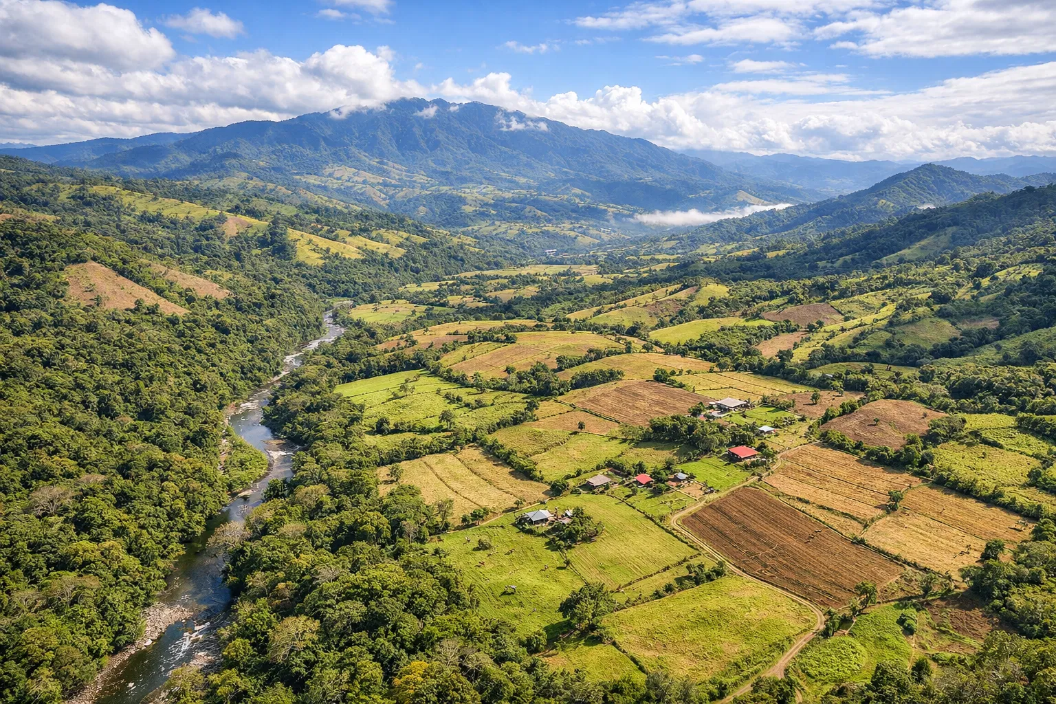
In Costa Rica, dense vegetation is common. If your site has heavy canopy, you should specifically ask how the provider will achieve a reliable DTM. In many cases, that means LiDAR or a hybrid workflow.
Recommended file formats (so designers can open your data)
For architects/engineers (CAD + BIM workflows)
- DWG (preferred) or DXF for linework, contours, and labels
- LandXML for surface exchange in many civil tools
- CSV / TXT for points (if point-based topo is part of the scope)
For GIS workflows
- GeoTIFF for DTM/DSM rasters
- Shapefile or GeoPackage for feature layers (streams, roads, boundaries)
- LAS/LAZ for point clouds (LiDAR)
Contour interval: how to choose something realistic
Smaller contour intervals look “more detailed”, but they’re only useful if the underlying accuracy supports them. A good provider will recommend a contour interval based on the terrain, required accuracy, and the sensor/data density.
- 0.5m contours: useful for tight residential design and small grading decisions on good data.
- 1m contours: common for mixed terrain and typical design work.
- 2m+ contours: often sufficient for large properties or early feasibility planning.
Accuracy & control: what to ask without getting technical
You don’t need to be a surveyor to ask the right questions. Put these in writing (email/WhatsApp) and compare answers across vendors:
- What horizontal and vertical accuracy should I expect for this site?
- How will you tie the project to control (RTK/PPK/GCPs/benchmarks)?
- What coordinate system will the deliverables use (CRTM05, WGS84, local)?
- Will you deliver a QA summary (check points / residuals / notes)?
Tip: If you’re planning retaining walls, driveway slopes, or drainage, ask for a surface model and breaklines—not just “a contour PDF”. That’s where the real design value lives.
Common “gotchas” that cause rework
- No coordinate reference: The files “look right” but don’t align with future surveys, utilities, or design basemaps.
- Contours without a surface: Your engineer can’t do grading/cut-fill reliably without a DTM/TIN.
- Vegetation not handled: Photogrammetry can model trees beautifully, but you need a bare-earth terrain model for earthworks.
- Missing breaklines: Roads, ditches, and sharp edges get “smoothed” and become unusable for drainage design.
- Only PDF delivery: A PDF is great for communication, but designers need editable CAD/GIS data.
What to request depending on your goal
Permits + basic planning
- PDF plan with contours + labels
- DWG/DXF contours + key features
- Coordinate reference / benchmarks
Design + grading (driveways, pads, drainage)
- DTM (GeoTIFF and/or TIN/LandXML)
- Breaklines for roads/ditches/ridges
- Higher-density topo near critical areas
Large property / development feasibility
- DTM + contours at a practical interval
- Orthomosaic for context
- Optional point cloud for QA and stakeholder visuals
FAQ
Is a drone topo “official” in Costa Rica?
Drone mapping can produce highly useful topo deliverables, but “official” requirements depend on what you are submitting and who is reviewing it. If your workflow requires a licensed surveyor’s stamp or a cadastral boundary, clarify that up front. Many projects use drone topo for design and planning, with traditional steps where required.
Do I always need LiDAR?
No. On open terrain, high-quality photogrammetry often works great. LiDAR becomes more valuable as vegetation increases, or when bare-earth terrain under canopy is critical to the project.
Can you combine drone mapping with ground checks?
Yes — and it’s often the best approach. Control points and check points can improve confidence, especially when the topo will be used for drainage, structures, or permitting.
Want a quote with the deliverables spelled out clearly? Tell us your location, approximate area, and what you’re building. We’ll recommend the right deliverables and a realistic contour interval. Contact Survey Costa Rica.